
Tinga LensEnvironmental intelligence for Ghana
See Ghana’s environment. Understand what is changing.
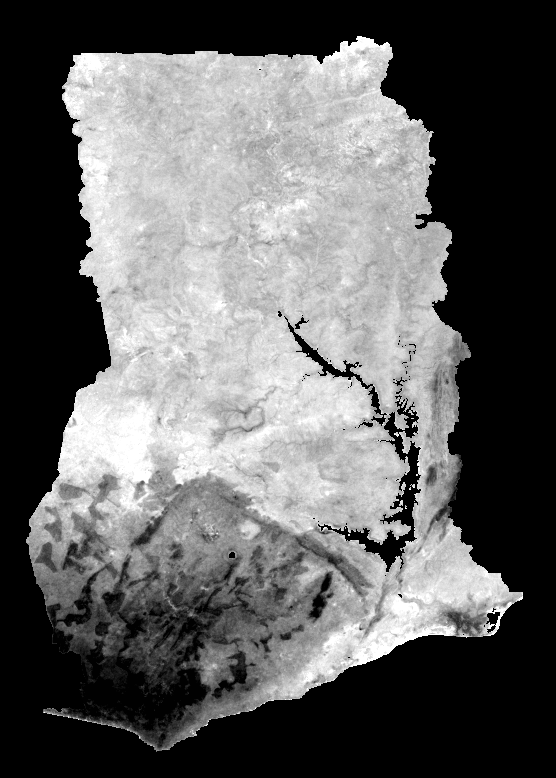
Tinga Lens is a CEIGo digital initiative that turns public satellite, climate and geospatial information into clear district-level maps, indicators and environmental briefs.
260districts covered
Regularenvironmental briefs
Tinga Lens provides environmental information and estimates, not official warnings or safety-critical advice. Use relevant Ghanaian authorities for official alerts and emergency guidance.